Luray, VA
Difficulty: Varies
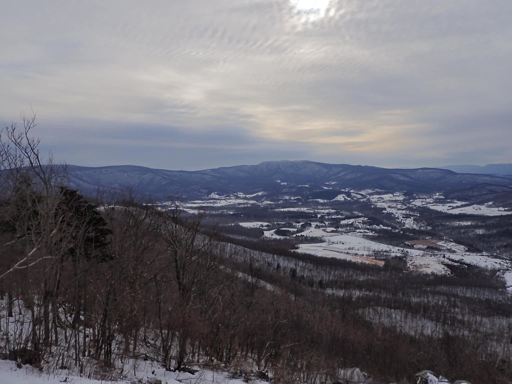
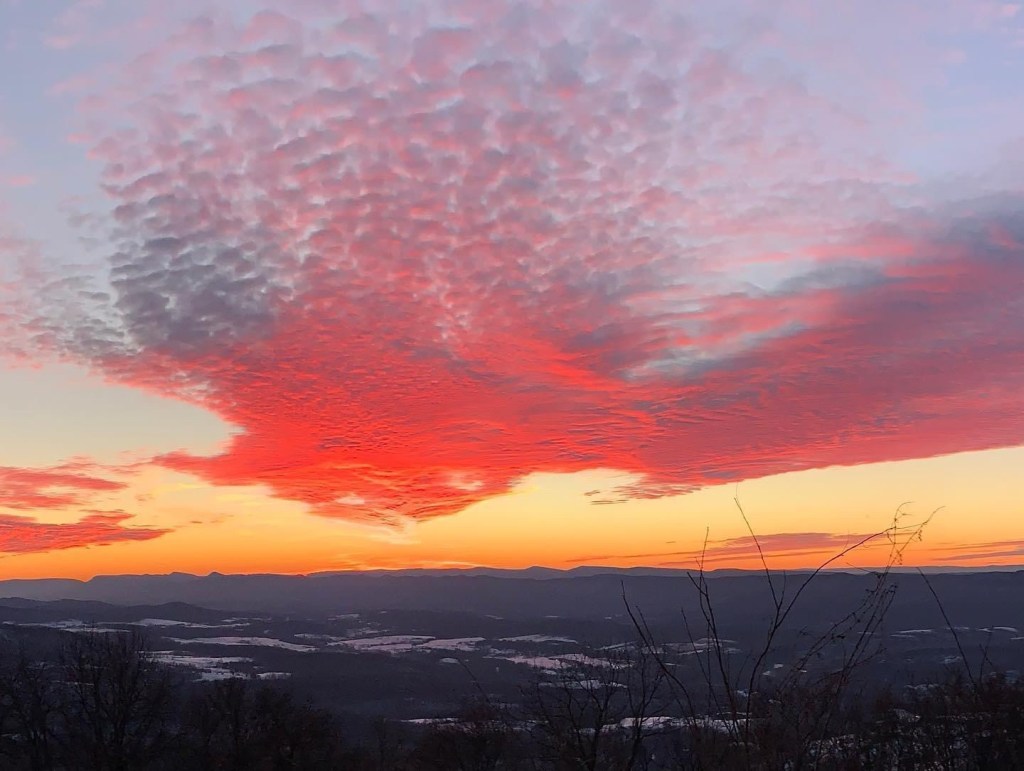
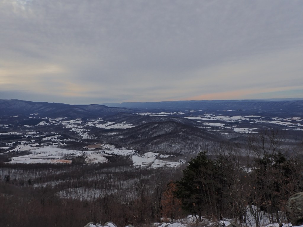
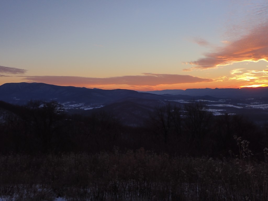
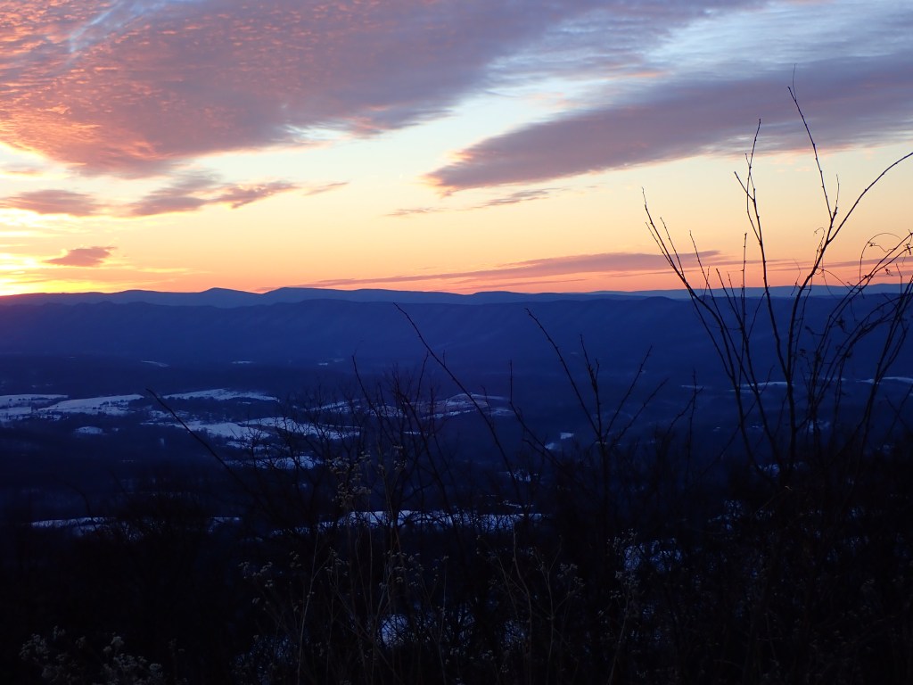
Sitting within the Blue Ridge Mountains in Virginia, Shenandoah National Park offers camping, hiking and scenic thruways perfect for all levels. The Appalachian Trail passes through the park for about 100 miles. In total there are about 500 miles of trails to hike and explore. Skyline Drive is the main paved road running along the mountains edge (don’t worry its wide and protected on both sides). Along Skyline Drive there are numerous turnoffs and parking lots where visitors can stop to admire the sunrise, sunset or just take in the stunning scenery.
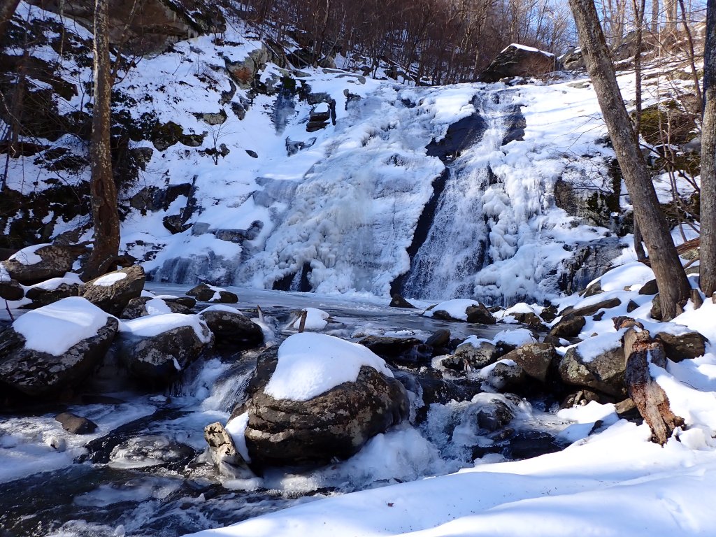
If it’s waterfalls you seek, Shenandoah National Park has you covered! There are more than 12 named waterfalls within the parks grounds, and many more within the Blue Ridge Mountains and in Virginia. The highest waterfall stands at 93ft and is named Overall Run. A roundtrip hike to Overall Run is about 6.5 miles and is considered one of the most challenging hikes in the park. The AllTrails hike is named “Overall Run Falls Via Tuscarora-Overall Run Trail.” If you are looking for an easier hike to a waterfall, Dark Hollow Falls (70ft tall) is the closest to Skyline Drive and one of the most popular in the park. Beginning at mile 50.7 of Skyline Drive, Dark Hollow Falls is just a short .7 miles downhill from the road (1.4 miles roundtrip). Unfortunately, dogs are not allowed on this trail.
In addition to waterfalls, Shenandoah also offers plenty of hiking opportunities. One of the most popular hikes is Old Rag Mountain. Old Rag stands 3, 284ft tall and is located in Sperryville, VA. This ~9.3 mile loop is rated as challenging, however, the view at the top is one of the best in the region. If you are planning to hike Old Rag, plan to encounter rock scrambles, steep inclines and lots of elevation changes. Hiking here takes lots of time, hikes on average can take 6-8 hours, so plan to take plenty of water and take frequent breaks if needed! Old Rag is also known for false summits, there are plenty along the way. Each time you think you reached the top, you will be fooled. The real summit will recognized by a brown “old Rag Mountain” sign, but once you finally reach the top, the view will be worth it! You will have a 360-degree view of the Blue Ridge Mountains, Shenandoah National Park and plenty of space to rest up and grab lunch. Hiking Old Rag is just as much a mental battle as it is a physical battle. Sadly, dogs are not allowed on this trail either.
An easier hike that is pet friendly (dogs can be off leash in some parts) is Hawksbill Loop Trail. This trail is ~2.7 miles in length and takes you to the summit of Hawksbill Mountain (4,042ft). The summit offers a view into the valley and mountain scenery. This trail can be completed in either direction and will take about 90 minutes for the average hiker. Hikers here will also travel on a section of the Appalachian Trail, so don’t be surprised if you meet someone traveling all the way to Maine or Georgia. A hike here will not disappoint and is a popular spot for hikers looking for a relaxed hike, while still admiring the beauty of the Shenandoah region.
Anyone traveling through western Virginia must add Shenandoah National Park to their list of attractions. The park offers plenty of hiking, scenery, wildlife and camping. Whether you are a casual explorer or someone looking to take backpacking and hiking to the next level, Shenandoah National Park will meet your expectations.
Parking: Parking depends on what trail and region of the park you plan to visit.
AllTrails: Search Shenandoah National Park to see the various trails. Trail maps are also available at the visitor centers across the park.

Leave a comment