
CT-MA-NY
Difficulty: Hard
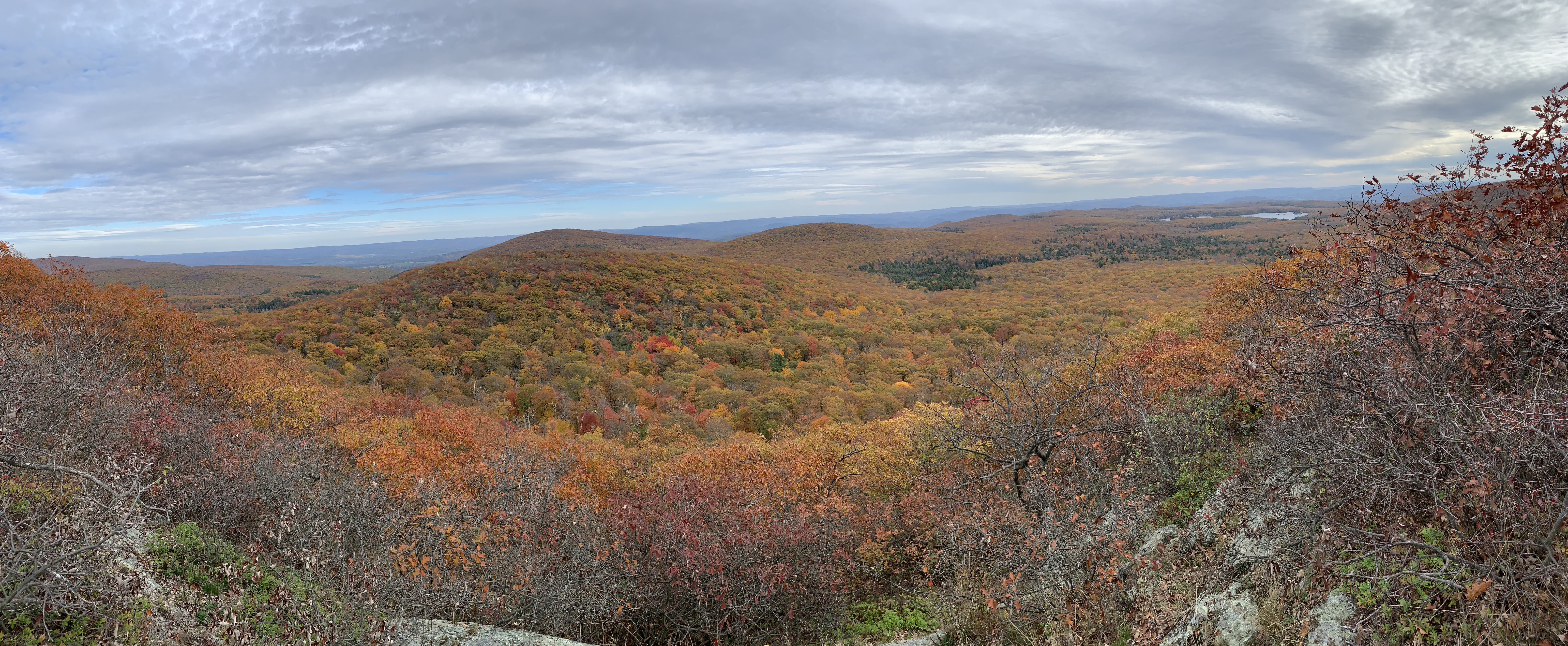
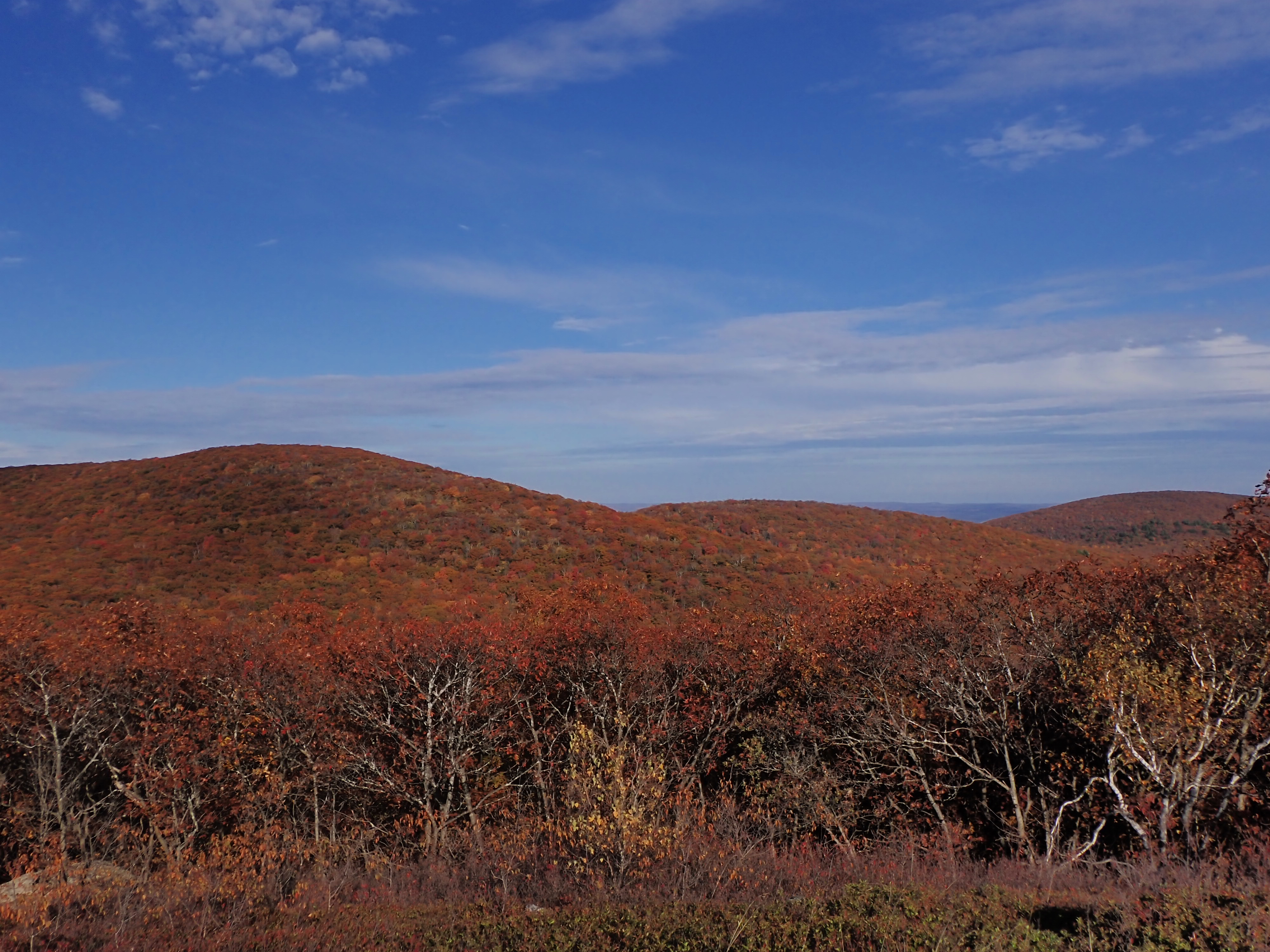
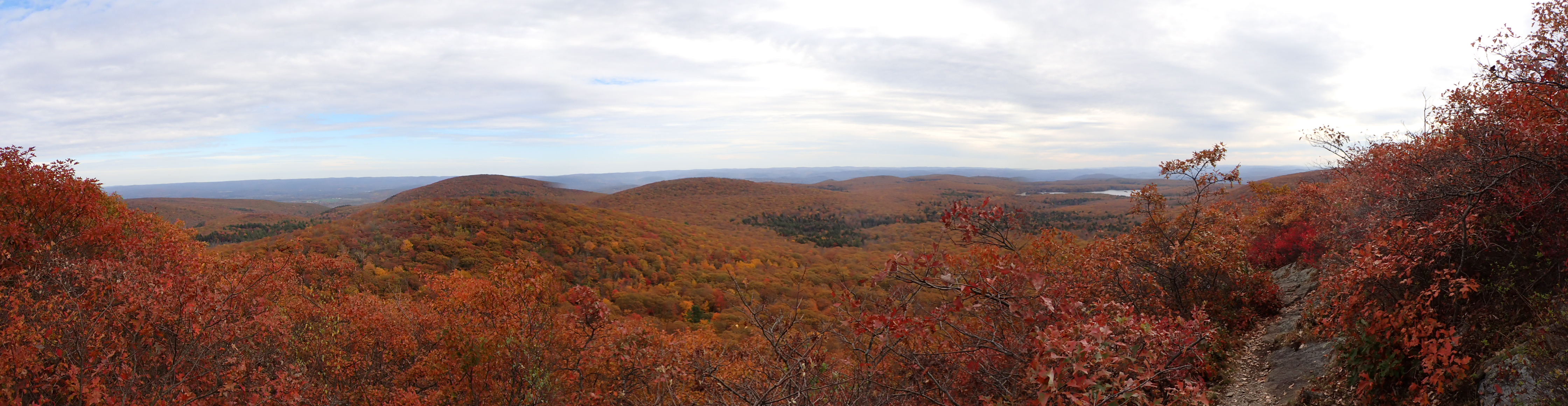
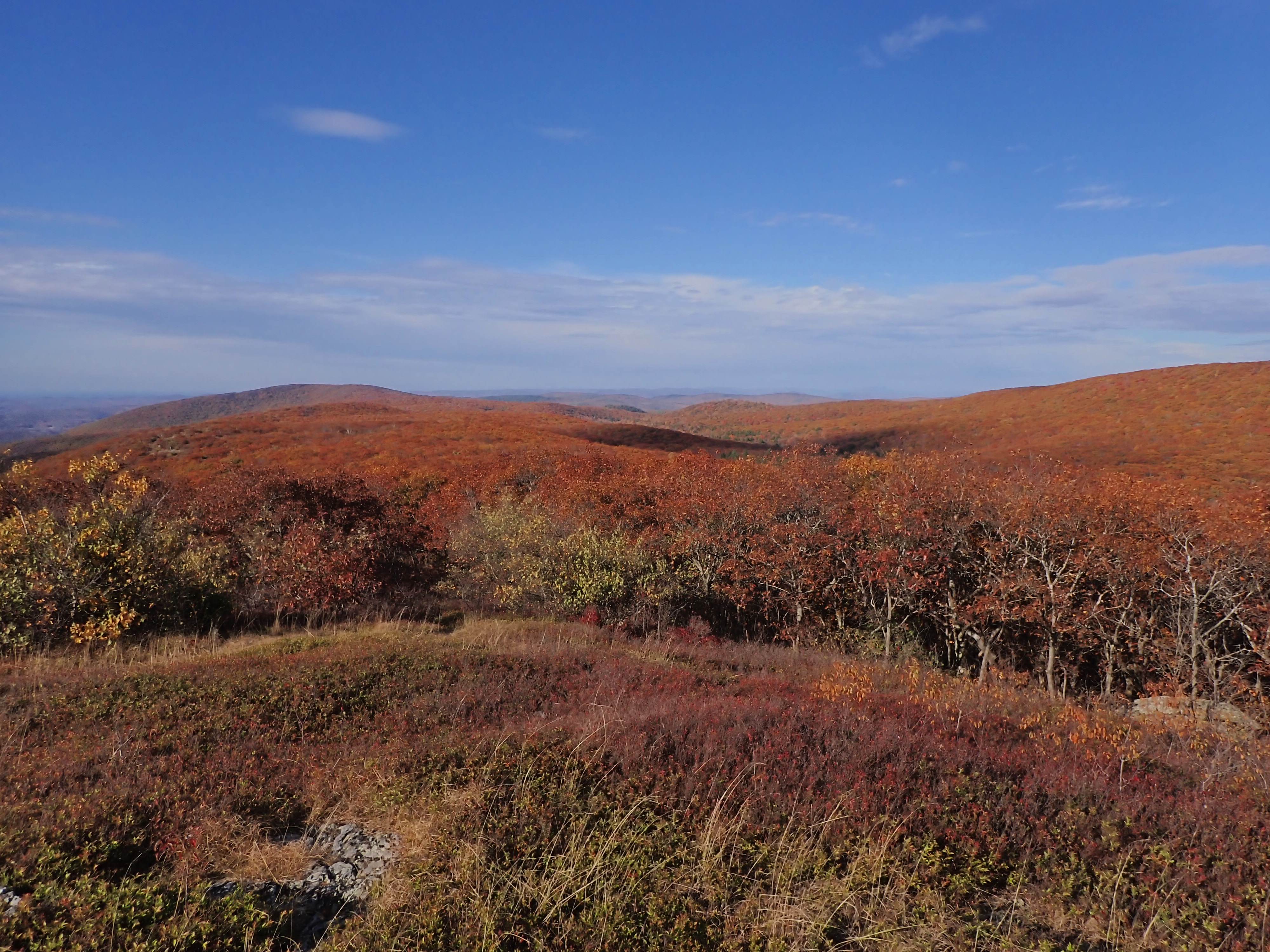
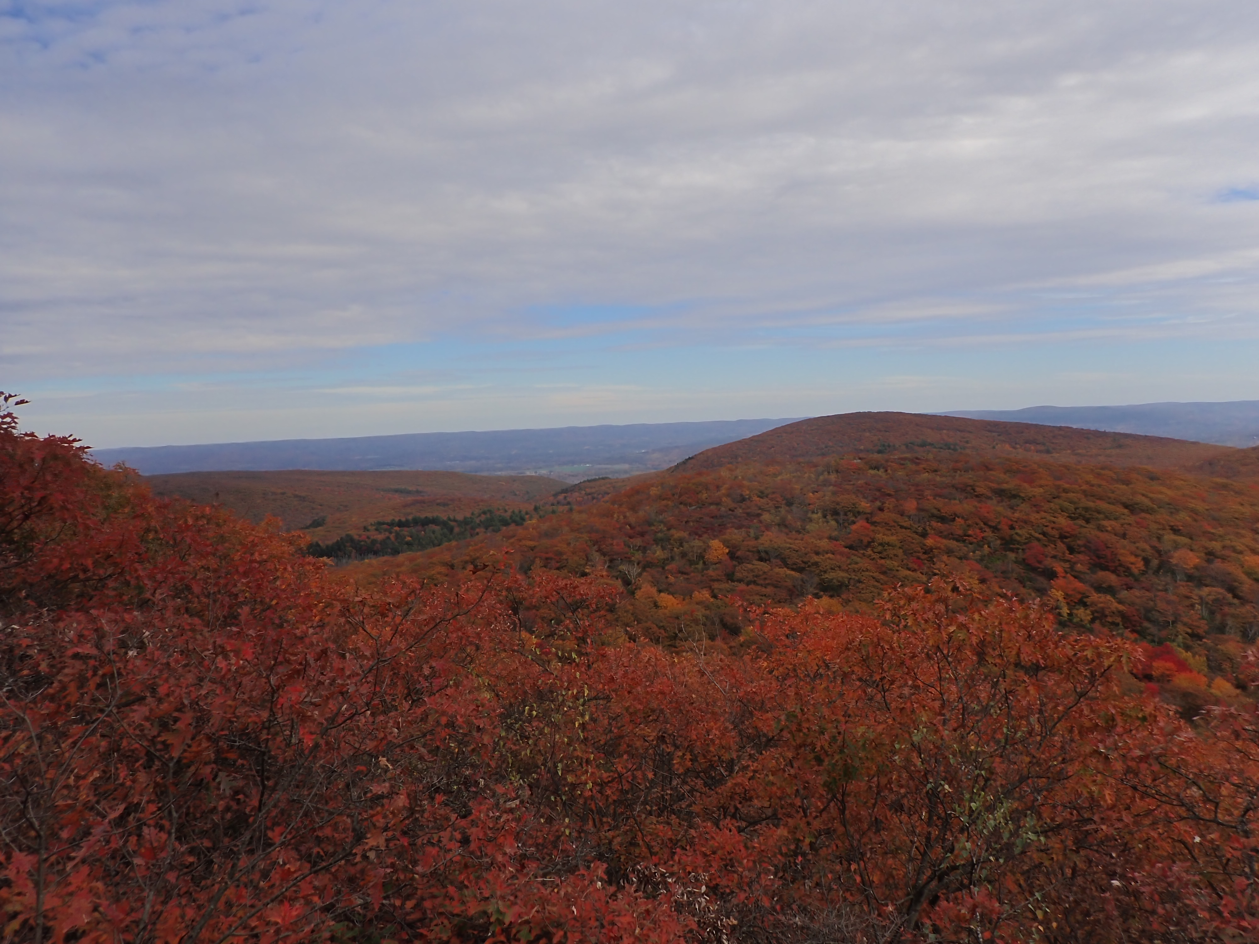
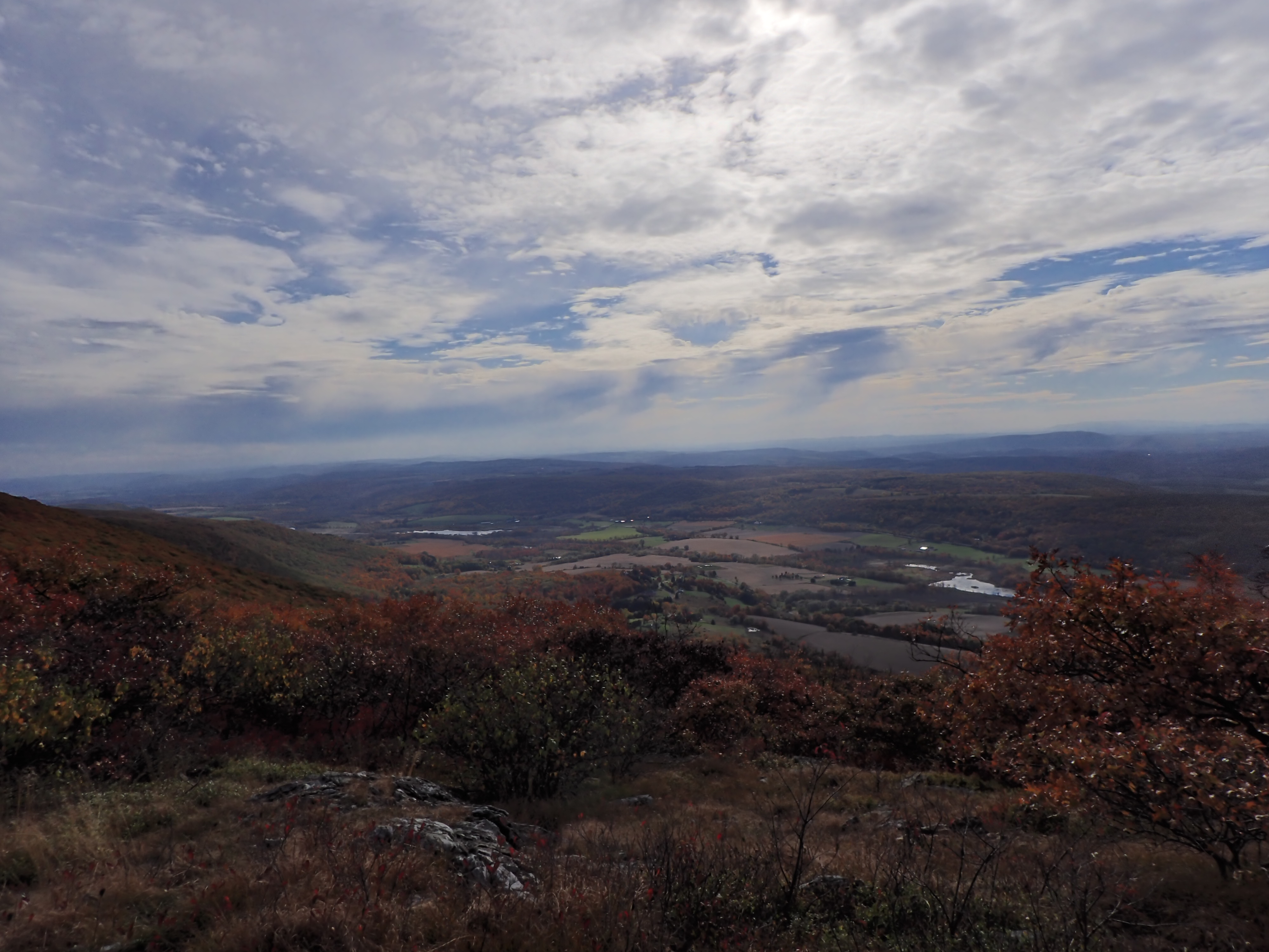
This ambitious hike is one of the most unique hikes in the region. This ~5 mile loop trail will take you to the summits of 3 mountains in 3 different states. Beginning along the CT/MA state line, the hike will first take you to the top of Round Mountain. Located in Salisbury, CT and at an elevation of 2,296ft, this is the first stop along the trail and offers amazing views of Northwestern CT. This is a great spot to rest up and get some lunch and take some photos before continuing. On the descent down Round Mountain, hikers will cross into Massachusetts and begin the ascent up to Mount Frissell. Located in Mount Washington State forest, Mount Frissell sits at an elevation of 2,454ft. While the summit of Mount Frissell does not offer any views, there is a Geocache box located along the trees. The scenery shot is located slightly down trail from the summit and like Round mountain, the view is of Northwestern CT and Southwestern MA. The last mountain is Brace Mountain, located in Tonic State Park in Hudson Valley region of NY. Sitting at an altitude of 2,311ft, the view from Brace Mountain is like nothing else. Facing west, the beauty of the Hudson Valley is dominant, but on clear days, the Catskill mountains can be seen in the distance. This hike is best done in the spring and in the fall, the beauty of New England is prominent with the mountains colored in yellows, reds and oranges.
Mountains aren’t all this trail has to offer. Hikers will also be treated to two landmarks along the route. The first is the highest point in CT. Located on the descent from Mount Frissell the high point in CT sits at an elevation of 2,380ft and is marked by a small peg along the trail. This peg also identifies the CT/MA border. Continuing along the border between CT and MA hikers will pass the tristate Marker. This concrete pillar identifies the border of CT, NY and MA and is a fun spot to set up and grab some photos before continuing along the trail into New York. Hikers will cross the Ashley Hill trail (running north/south in NY) and south tonic trail, leading to the Tonic Mountain ranges and Brace Mountain.
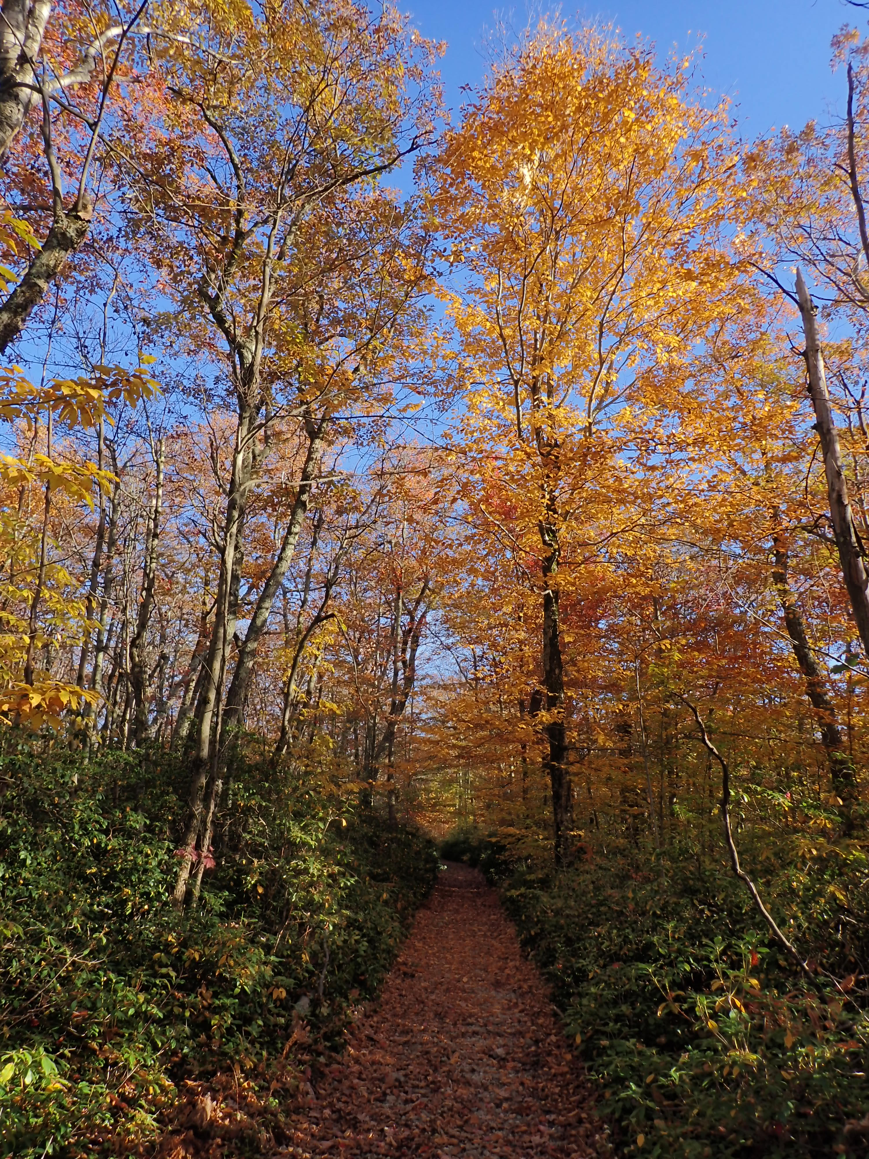
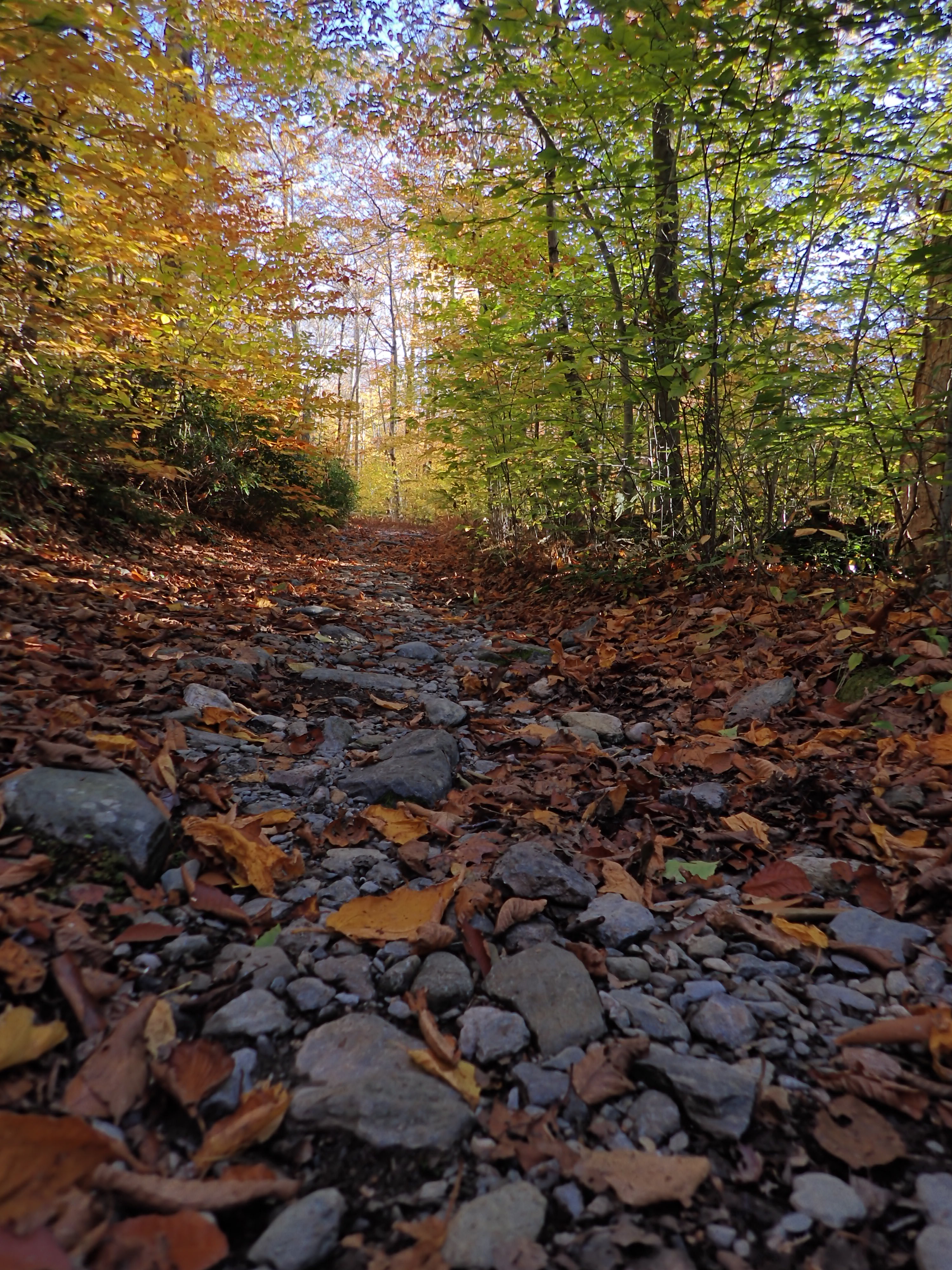
However, this hike does have some negatives. Most of attractions can be covered in the first 2.5 to 3 miles of the hike. The last 2 miles offers a flat relaxing walk through the woods. There is not a lot of scenery and not a lot of good places to stop and rest. Once you leave Brace Mountain, the goal is to get back to the vehicle. Part of the back end of the hike is along Mount Washington Road, a dirt road that connects to the trailhead. I would recommend bringing two vehicles and park one at the trail head near the CT/MA border and the other at the exit of the intersection of the Brace Mountain Trail to Mount Washington Road. Driving back to the start of the trail will save the walk up a dirt road that will seem endless, especially after climbing 3 mountains. There is also no clear marker between the NY and CT border on the back end of this trail (although a small creek offers a noticeable boundary). Because of the lack of rivers along the trail, be sure to bring plenty of water and pace yourself, especially during the spring and summer months.
This hike offers spectacular views of CT and MA and in the fall postcards for the fall foliage. However, because of the elevation, distance from accessible roads, rock scrambles around Round Mountain and Mount Frissell, and lack of extra resources such as water, this hike is a challenge. In hot summer days, the mountain faces are exposed to direct sunlight with little shade and breeze. It is very easy to get overcome by the elements. Remember, going out is optional, but coming back is mandatory!
Parking: The GPS point to locate the trailhead is “Mount Frissell Trailhead.” However, the GPS will not bring you the most direct way. Instead, using your GPS, locate “19-99 Mount Riga Road” in Salisbury, CT. From there, you will want to follow to the intersection of Mount Riga Road and Mount Washington Road. At the intersection, take a right/drive north and follow signs for Mount Washington Road and Mass State Line. There is no cell service until you reach the top of round mountain, so make sure any maps or GPS points are preloaded onto your phone and always confirm your hiking and travel route before you leave. lastly, Mount Washington Road is a two way narrow dirt road, so if possible, bring a vehicle with high ground clearance and good off-roading capabilities.
Alltrail link: https://www.alltrails.com/trail/us/massachusetts/mount-frissell-and-brace-mountain-loop-trail

Leave a comment