
Holyoke, MA
Difficulty: Medium
Note: Photos taken in November during off peak foliage
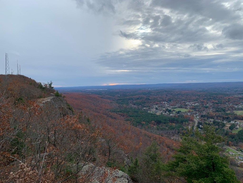
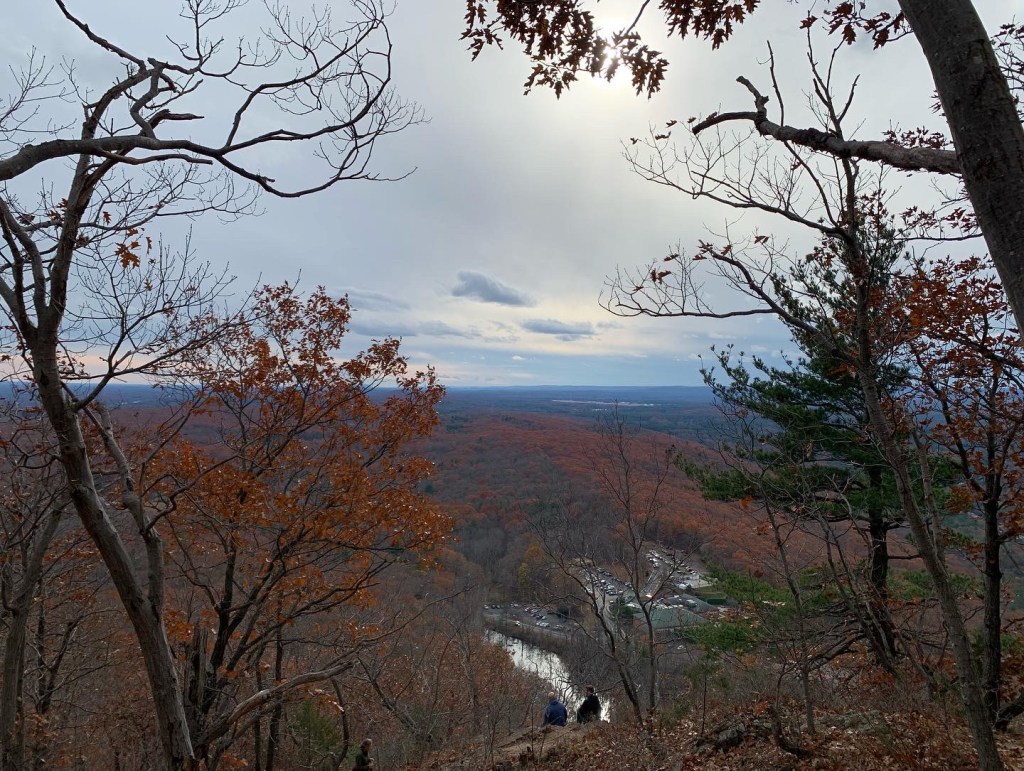
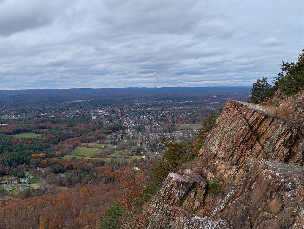
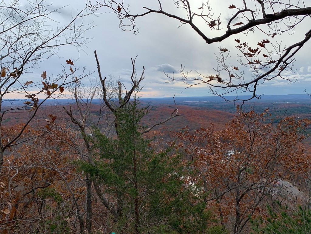
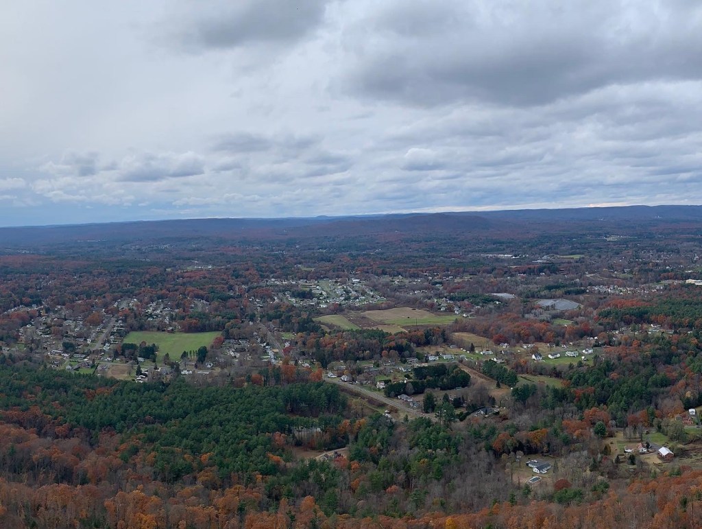
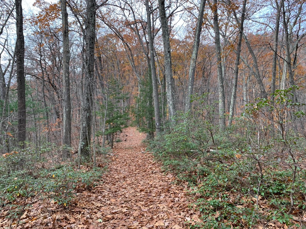
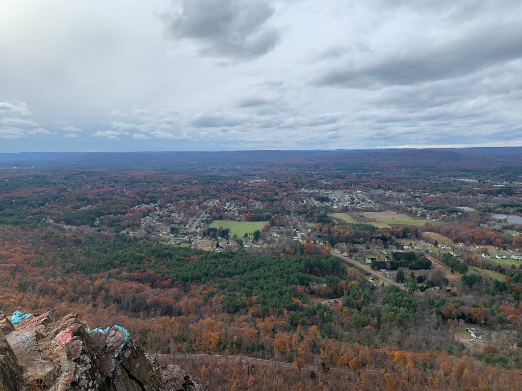
Located just off Interstate 91 in Holyoke, Mass, Mount Tom is a medium difficulty hike approximately 4.5 miles in length. The average hiker can complete this trail in about 2 and a half hours. At an elevation of 1,202ft and with the word “mount” in the name, it’s no secret there will be some elevation changes, but the view will be worth it. The western side of Mount Tom offers spectacular views of Easthampton and Northampton Massachusetts. The eastern side offers a tranquil walk through the forest with nothing but the crunch of leaves and occasional hum of local birds and wildlife. However, this trail is not just for the local hiker, this is also the site of a B-17 plane crash. On the evening of July 9th, 1946 a B-17 flying fortress was traveling from Canadian Forces Base Goose Bay (CFB) in Newfoundland crashed while trying to land in fog at Westover Air Reserve Base (AFRC) near Springfield. All 25 passengers and crew perished. A memorial was built on the eastern side of the trail.
Parking: Off MA-141 Easthampton Road between Southampton Rd and Christopher Clark Rd.
Alltrails link: https://www.alltrails.com/trail/us/massachusetts/mt-tom-b17-memorial-trail

Leave a comment